

Why Dryv
Most navigation apps reduce the road to how long it takes. I wanted an app that also asks whether the road is pleasant to drive.

Origin
Dryv started with my Geneva to Paris trips.
A normal GPS gives the fastest route, and sometimes that is exactly what I need. But there were trips where I was fine taking eight or nine hours instead of six, if the extra time actually made the drive better.
"Avoid motorways" did not solve it. That can give you a slower route without making it more pleasant: long straight roads, trucks, towns, traffic lights, roundabouts, and very little joy.
Trying to plan the better option by hand was worse. I would move the route around, inspect roads in Street View, check whether the total time still made sense, and look for good places to stop at the right moments. Even for a trip as straightforward as Geneva to Paris, the planning could take longer than the drive. That was not the point.
What I wanted was simple: show me the fastest route, show me the better roads if they exist, and explain the differences clearly enough to help me decide.
What I Notice
I often look at a route and think, "I know a better way to drive this." Not always faster (actually, most of the time slower). Sometimes calmer, more open, less annoying, or simply more fun.
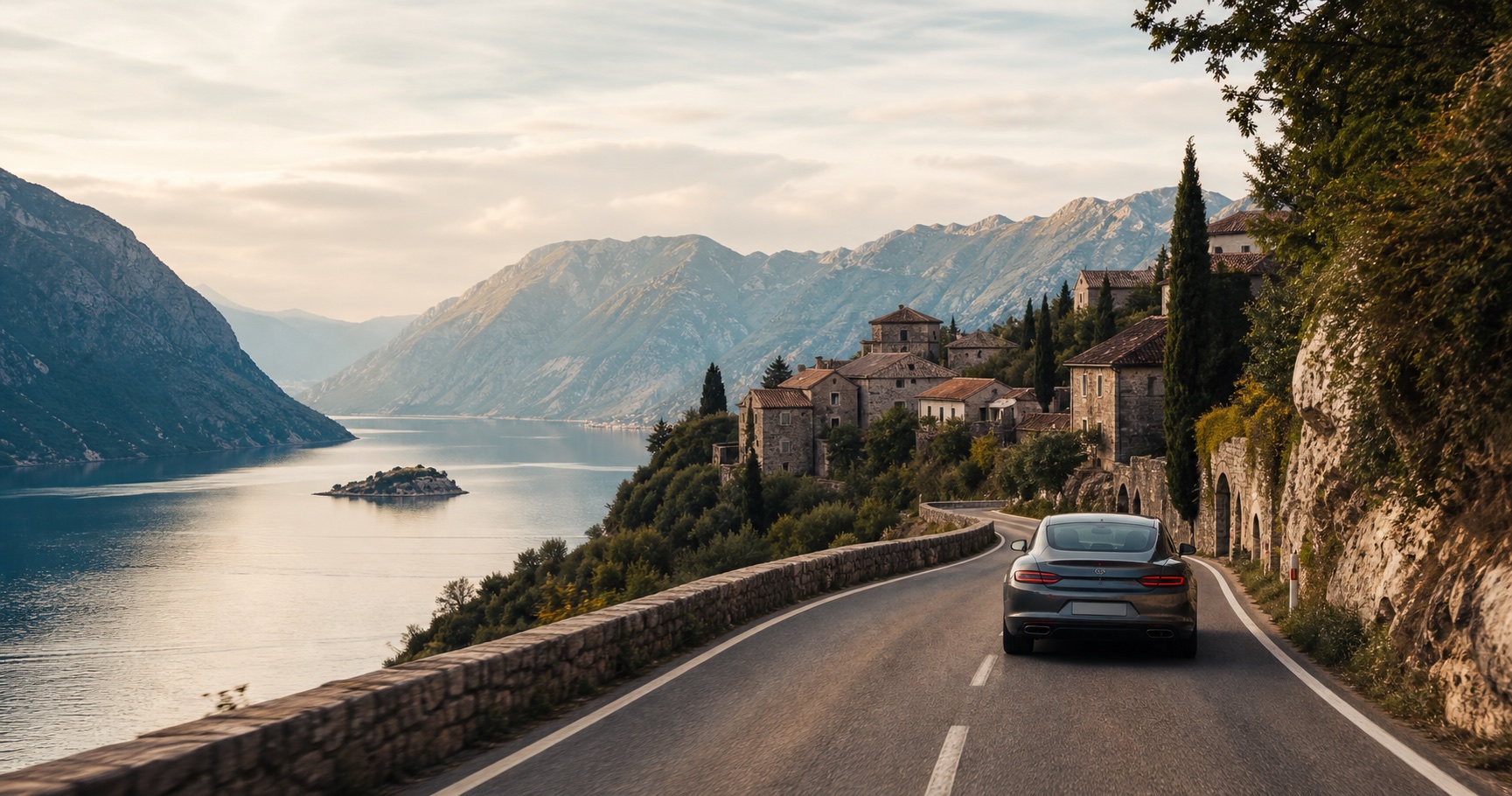
I notice roads by how they feel to drive: the rhythm of the curves, the awe of wide open stretches, a beautiful village that makes a detour worthwhile, or the irritation of a road that is slightly faster but much more annoying.
Dryv is my attempt to make those differences visible before you start driving.
Try Dryv
Help us improve
Start with a route you already know. If Dryv chooses well, tell us. If it chooses badly, tell us where and why.